
Features
04 - 09 - 2026
ISRO Set to Launch GISAT-1A, Advanced GEO Earth-Observation Satellite
GSLV-F17 mission will place EOS-05 into geosynchronous orbit, enabling persistent, wide-area monitoring of the Indian subcontinent
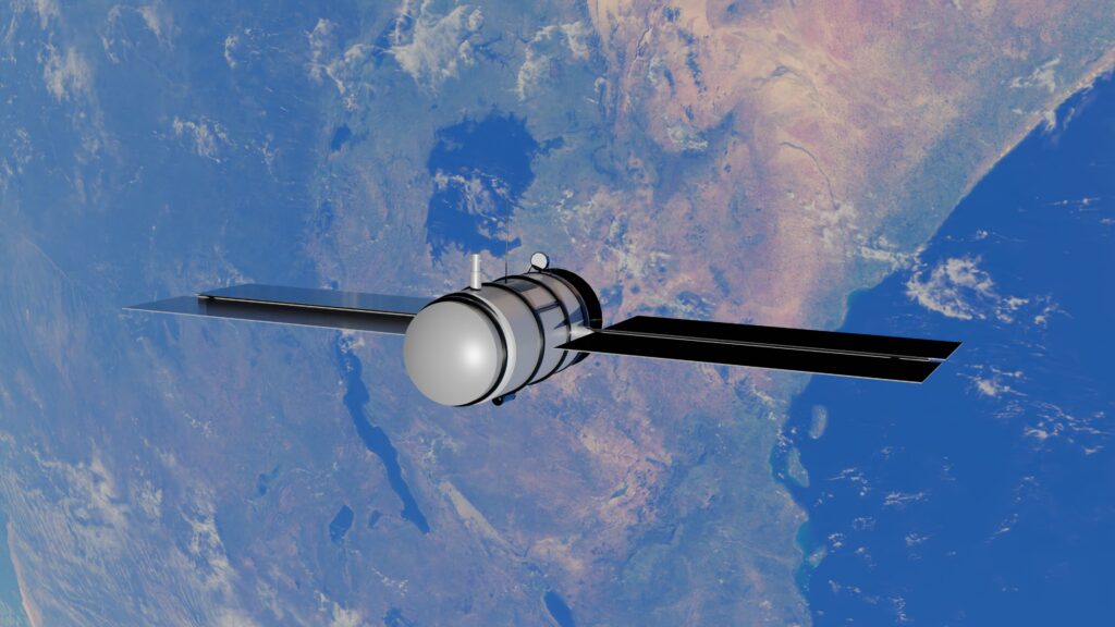
The Indian Space Research Organisation (ISRO) is preparing to launch GSLV-F17 carrying GISAT-1A, also designated EOS-05, an advanced Earth-observation satellite designed to operate from geosynchronous orbit and provide frequent imaging of the Indian subcontinent.
The satellite is planned to carry a combination of multispectral and hyperspectral imaging payloads, offering a different Earth-observation capability from India’s high-resolution satellites operating in low Earth orbit (LEO) and sun-synchronous orbits.
According to the material provided, GISAT-1A will carry two hyperspectral imagers and two multispectral imagers. Its MX-VNIR multispectral payload is designed to achieve a spatial resolution of approximately 42 metres per pixel, a particularly high resolution for imaging from geostationary orbit.
Why Put an Imaging Satellite in GEO?
Most high-resolution Earth-observation satellites operate in LEO or sun-synchronous orbits. Their relatively low altitude allows them to obtain finer spatial detail, but they continuously move around Earth and therefore cannot remain over one location.
A geostationary satellite, by contrast, orbits at roughly 36,000 kilometres above the equator and appears stationary over a particular region. This enables it to repeatedly observe the same area without waiting for another orbital pass.
The major advantage is therefore temporal resolution and wide-area coverage, rather than simply maximum spatial resolution. GISAT-1A is intended to exploit this capability by providing frequent observations of the Indian subcontinent.
The supplied information says the satellite can potentially update imagery of the region at intervals of around 10 minutes, making the system particularly useful for rapidly developing events.
Monitoring Cyclones, Floods and Other Disasters
Persistent imaging from GEO could provide significant advantages for monitoring events such as cyclones, floods, wildfires and other natural disasters. Rather than relying primarily on images acquired during separate satellite passes, operators could follow the evolution of an event continuously and use successive observations to track changes almost in real time.
The satellite’s wide field of view would also allow large geographical areas to be observed in a single imaging operation, complementing India’s existing LEO Earth-observation fleet.
Hyperspectral Imaging Adds Another Layer
The satellite’s hyperspectral capability is significant because hyperspectral sensors observe Earth across numerous narrow spectral bands rather than only a few broad bands. Such information can help distinguish materials and identify changes that may not be apparent in conventional imagery.
Potential applications include agriculture, forestry, mineral exploration, water-body monitoring, oceanography and environmental studies. Hyperspectral observations can also potentially support the detection and identification of particular materials or unusual surface characteristics. Defence and strategic applications could consequently form another potential area of use.
However, specific claims about detecting camouflaged military installations should be treated as a potential defence application rather than a demonstrated capability unless ISRO specifically confirms such an operational use.
Successor to the Earlier GISAT-1
GISAT-1A follows the earlier GISAT-1 mission, which was lost during the unsuccessful GSLV-F10 launch in August 2021.
The new spacecraft represents a renewed effort to establish an Indian imaging capability from geostationary orbit, combining the broad-area and high-temporal-coverage advantages of GEO with multispectral and hyperspectral observations.
The mission is therefore intended to complement, rather than replace, India’s LEO Earth-observation satellites: LEO platforms offer higher spatial resolution, while GISAT-1A’s GEO position is designed to provide much more frequent and persistent observations over a broad region.
By Subramanya Joshi
Most Popular

4 days ago
Casagrand introduces 8 am–4 pm workday for staff
With the workday concluding at 4 pm, employees gain greater flexibility

3 days ago
Gaganyaan Is Only the Beginning of India’s Human Spaceflight Ambitions: Astronaut
Indian astronaut says Gaganyaan will establish the foundation for the Bharatiya Antariksh Station, advanced…

2 days ago
Hyderabad GCC boom to add about 8-12 million sq ft office demand over the next 3-5 years
The city added 70 new GCCs in FY25, while Hyderabad office leasing rose to…

2 days ago
Viasat Targets India for Satellite Manufacturing and Sovereign Space Partnerships
Viasat is in the process of evaluating local production of satellite subsystems and potential…
